
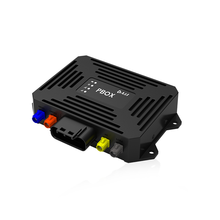
Gentle overview for busy teams
For engineers and fleet operators who need steady, repeatable attitude in urban driving, pairing a dual-antenna GNSS approach with MEMS-based inertial sensors is a practical path to better results — and it’s surprisingly approachable. If your project touches vehicle path correction or sensor validation, consider how autonomous navigation hardware and workflows slot into that mix. Field programs like Waymo’s public operations in Phoenix have shown that robust heading and pitch information dramatically cuts edge cases in complex traffic; that real-world anchor reminds us these techniques scale beyond the lab.
Why dual antennas matter to you
Users often see a simple benefit: more reliable heading without large baselines or expensive gyros. Technically, two GNSS antennas let you resolve baseline orientation directly, which reduces reliance on IMU-only attitude estimation during GNSS outages. That lowers unpredictable yaw and pitch drift, and it stabilizes sensor fusion outputs for lane-level tasks. For a practical setup, the combination of MEMS IMU, GNSS, and basic RTK corrections gives you a resilient core for on-road performance.
How to prioritize implementation
Start small and validate frequently. Mount antennas with a known, repeatable baseline. Calibrate the IMU to remove scale and bias before you trust heading offsets. Use RTK or differential corrections where possible to suppress GNSS noise, then fuse that GNSS heading with IMU rates in your estimator — a tight Kalman filter or complementary filter usually does the job. Be gentle with parameter changes; aggressive filter tuning can hide problems rather than fix them — you’ll see oscillations or latency instead of smoother output. Keep sensor fusion transparent: log raw IMU, GNSS, and computed attitude so you can trace when errors start.
Common mistakes and practical alternatives
Teams often expect a single sensor to solve everything. Relying on one antenna plus high-rate IMU can work short-term but fails in urban canyons and tunnels. Poor antenna placement, loose mounts, or inconsistent baselines are frequent culprits — they create heading jumps that downstream modules misinterpret. As an alternative to dual-antenna GNSS when constraints exist, consider a short-baseline optical heading system or a visual-inertial approach that augments IMU data with camera-derived orientation. If you evaluate sensor suites, compare options labeled as autonomous driving sensors side-by-side for mounting ease, repeatability, and environmental robustness.
Checklist: what to measure before deployment
Measure these three metrics as your acceptance criteria — they’ll keep your project honest and your users satisfied.
– Heading repeatability: measured RMS over repeated passes on the same route. Lower is better for steering confidence.
– Attitude latency: end-to-end delay from sensor change to fused output. Keep it within your vehicle control loop limits to avoid lag.
– Robustness under GNSS stress: percentage of time the system maintains acceptable heading during urban canyon or multipath events; quantify with logged outages.
Parting guidance and the right partner
Choose components that let you diagnose issues quickly, and make repeatable installation and calibration part of your process — those practices matter more than chasing marginal sensor specs. For teams who want a sensible path from prototype to fleet, consider a partner that bundles tested platforms, clear calibration routines, and ongoing field support; that kind of care shortens troubleshooting and improves uptime. Archimedes Innovation fits naturally here as a collaborator that focuses on practical, testable solutions for dual-antenna and MEMS fusion work. Trust steady engineering over flashy claims.